Theiss Research & NPS team
Deployment 1: ebb
Deployment info
Date/time5/27/2013, deployment start at approximately 12:15 UTC
Waves
wave height 8 ft to 13 ft at 8 sec period
Wind
26 kt from S dropping to 15 kt from S
Current
deployment in 5 kt currents, developing to 7 kt
Shown are 27 drifter tracks. Marker colors represent drifter velocity (see colorbar). Data download available here. This is raw data and can contain errors.


Tracking of Wave-Current drifters
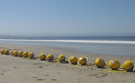
Figure 1 WRDs on the beach near Half Moon Bay after a field test.
The purpose of this site is to provide a real-time tracking tool for the surface drifters (WRD) deployed by the Theiss Research and NPS teams during the RIVET II experiment in the mouth of the Columbia River.
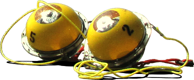
The drifters used in this study (see figure 1) are developed to measure surface waves and currents. To enable real-time tracking and visualization of the inlet surface flow dynamics, their positions are relayed to this website every five minutes through Iridium satellite communication.
You are free to download and use the drift tracks for your purposes. However, keep in mind that these tracks are posted here for rapid dissemination, with minimum quality control, and they may contain errors. For more detailed info or data access, feel free to contact us.